本页面介绍 CEARAC 作为利用海洋遥感技术开发新监测和评估工具的一部分而开发的网络工具。
这些工具由 Google Earth Engine (GEE) 开发,GEE 是一个基于云的计算机平台,可帮助用户分析卫星数据和图像。
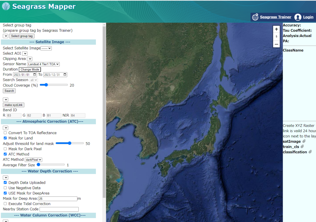
Seagrass Mapper
Seagrass Mapper 是一种基于云的网络工具,可利用卫星图像和实地数据在地图上直观显示海草床。
如何使用应用程序:https://mapseagrass.org/index.php/help/manual
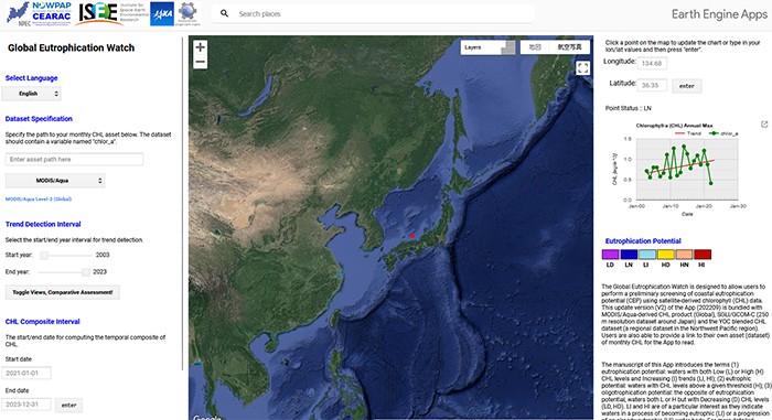
Global Eutrophication Watch
Global Eutrophication Watch系统可通过将海水分为六个等级,初步检测目标区域的富营养化或低富营养化潜力;其中三个等级与 CHL 趋势有关(D-减少、N-无趋势和 I-增加),两个等级与 CHL 水平有关(H-高、L-低)。
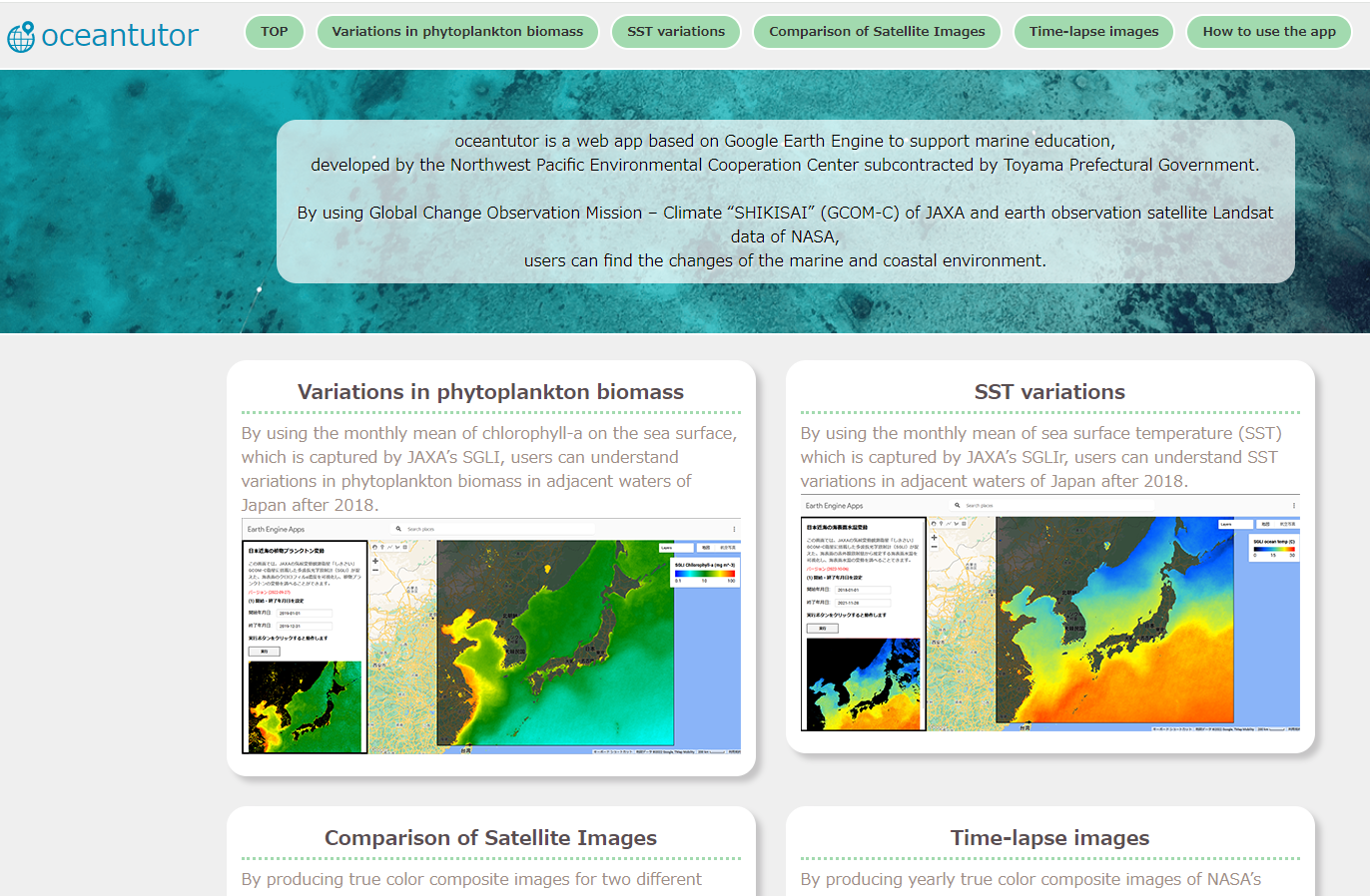
oceantutor
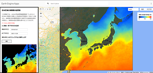
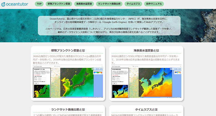
oceantutor 是一款基于谷歌地球引擎的网络应用程序,用于支持海洋教育,由富山县政府分包的西北太平洋环境合作中心开发。
利用日本宇宙航空研究开发机构的全球变化观测任务–气候 “SHIKISAI”(GCOM-C)和美国国家航空航天局的地球观测卫星 Landsat 数据,用户可以发现海洋和沿海环境的变化。
如何使用应用程序 : https://www.npec.or.jp/oceantutor/en-index.html
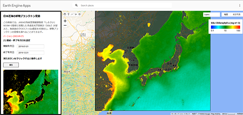
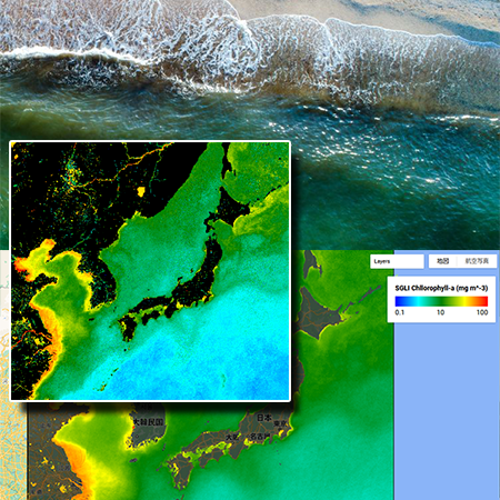
通过使用 JAXA 的 SGLI 所捕获的海面叶绿素-a 的月平均值,用户可以了解 2018 年之后日本邻近海域浮游植物生物量的变化情况。 https://www.npec.or.jp/oceantutor/en-sglichlorafb.html
2019 年春季 CHL 绽放
2019 年 1 月至 12 月,春季 CHL 水华(高叶绿素-a 浓度)从西北太平洋南部向北移动。
1 月至 4 月,作为浮游植物指标的叶绿素-a 浓度较高的海域从西北太平洋南部向北移动。
这种现象被称为 “春季 CHL 水华”,它有助于培育海洋生物多样性。
按照以下步骤,您就可以在应用程序中复制这种现象。
https://www.npec.or.jp/oceantutor/en-index.html#manu-title7
1 月至 4 月,作为浮游植物指标的叶绿素-a 浓度较高的海域从西北太平洋南部向北移动。
这种现象被称为 “春季 CHL 水华”,它有助于培育海洋生物多样性。
按照以下步骤,您就可以在应用程序中复制这种现象。
https://www.npec.or.jp/oceantutor/en-index.html#manu-title7
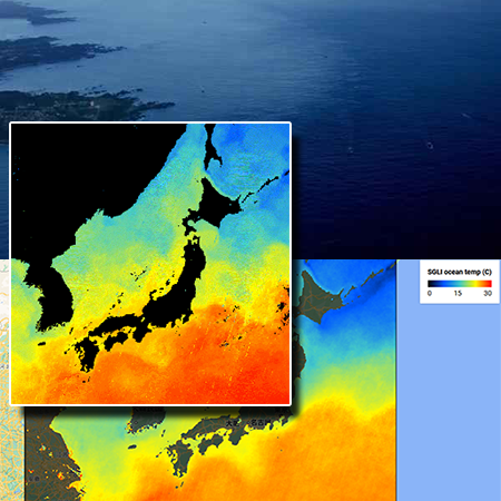
通过使用日本宇宙航空研究开发机构的 SGLIr 所采集的海面温度月平均值,用户可以了解 2018 年之后日本邻近海域的海面温度变化情况。 https://www.npec.or.jp/oceantutor/en-sglisst.html
2018 年至 2021 年黑潮蜿蜒曲折
2018 年 1 月至 2021 年 12 月期间,黑潮暖流主要在日本纪伊半岛以南徘徊
根据日本气象厅(JMA)的数据,这次大规模的黑潮蜿蜒发生在 2017 年 9 月,至今仍在继续。
众所周知,黑潮的蜿蜒对渔业、洪水灾害和气候都有影响。
按照以下步骤,您就可以在应用程序中复制这种现象。
https://www.npec.or.jp/oceantutor/en-index.html#manu-title5
根据日本气象厅(JMA)的数据,这次大规模的黑潮蜿蜒发生在 2017 年 9 月,至今仍在继续。
众所周知,黑潮的蜿蜒对渔业、洪水灾害和气候都有影响。
按照以下步骤,您就可以在应用程序中复制这种现象。
https://www.npec.or.jp/oceantutor/en-index.html#manu-title5
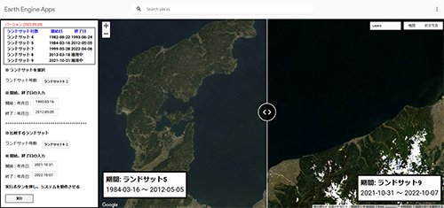
通过根据 NASA 地球观测卫星拍摄的图像制作两个不同时期的真彩合成图像,用户可以比较世界不同地区的地表变化。 https://www.npec.or.jp/oceantutor/en-landsatcomparison.html
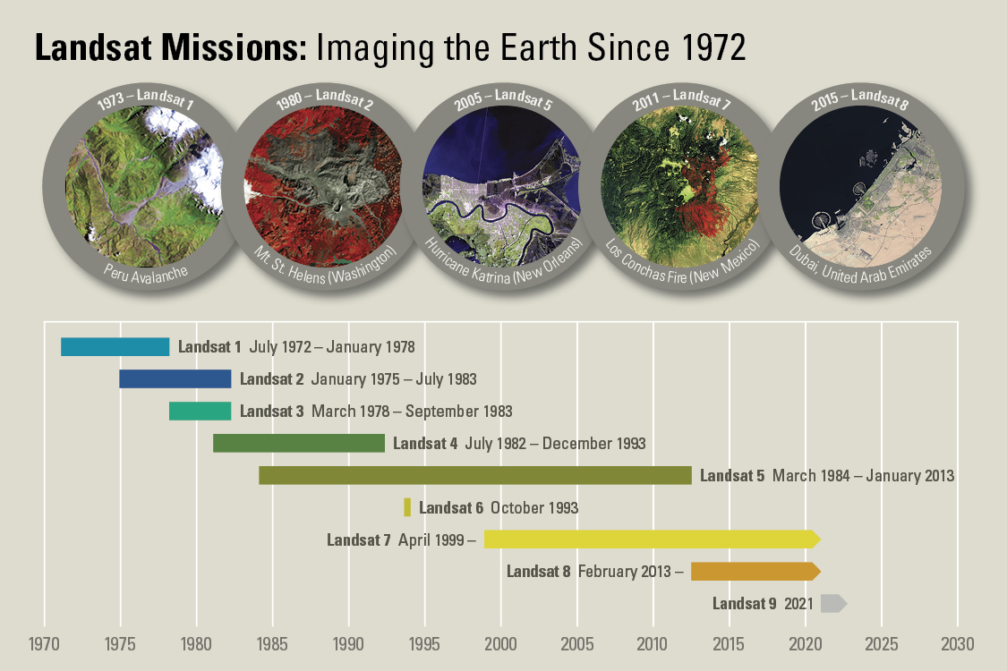
LANDSAT 4 -9
LANDSAT is an earth observation satellite of the National Aeronautics and Space Administration (NASA) of the US. LANDSAT 4, launched in 1982, can monitor the earth surface at 30 m resolution by using optical wavelength and near infrared rays. With enhanced quality of sensors in recent years, the surface of the earth can be observed more precisely https://sorabatake.jp/25427/ (Japanese) https://www.usgs.gov/landsat-missions/landsat-satellite-missions (English)
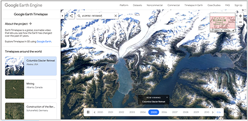
通过制作 NASA 的 Landsat 地球观测卫星的全年真彩合成图像,用户可以看到延时图像,了解世界不同地区的地表变化。
谷歌算法会从每年生成的数据中去除云层。 https://www.npec.or.jp/oceantutor/en-timelapse.html Earth timelapse
谷歌算法会从每年生成的数据中去除云层。 https://www.npec.or.jp/oceantutor/en-timelapse.html Earth timelapse


