
In April 2025, the 16th Pan Ocean remote Sensing Conference (PORSEC) was held at National Taiwan Ocean University. On 21 April, the last day of the three-day tutorials organized as a part of PORSEC, Dr. Genki Terauchi, senior researcher of CEARAC, gave two practical trainings on remote sensing data analysis, upon request from the tutorial leader, Dr. Mubarak Mammel (postdoctoral researcher, National Taiwan Ocean University).
The first training was on water quality monitoring and assessment using Global Eutrophication Watch, a cloud-based eutrophication assessment tool (Figure 1). Following Dr. Terauchi’s introduction about one CEARAC’s activity on preliminary evaluation of potential eutrophic zones using satellite-derived chlorophyll (Chl-a) data, the tutorial participants practiced time series analysis of ocean color data which the NOWPAP Marine Environmental Watch provides, with Google Colaboratory. Then, they compared the analysis results with in-situ data for validation and understood the usefulness of satellite-derived data.
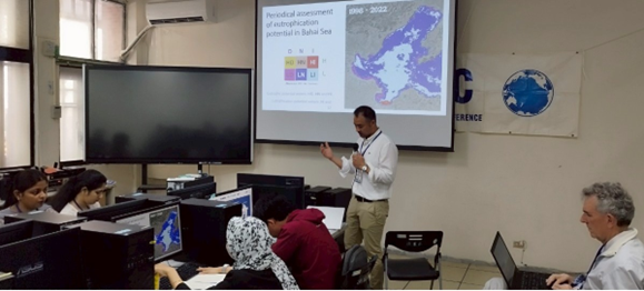
Figure 1. Introduction of Global Eutrophication Watch
The Second training was on mapping seagrass beds with Seagrass Mapper (Figure 2). First, Dr. Terauchi explained how important coastal seagrass/seaweed beds are in terms of conservation of marine biodiversity and absorption of carbon dioxide (CO2) and demonstrated the procedure of how to produce a seagrass distribution map such as uploading sample data of Nanao Bay, Japan from the field-based data registering tool, Seagrass Trainer, as well as basic operation and various functions of Seagrass Mapper. All the participants listened attentively to his lecture.
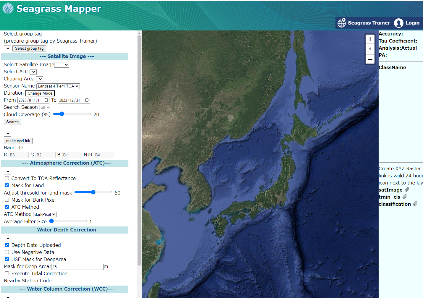
Figure 2. Top page of Seagrass Mapper (seagrassmapper.org)
Click the top right button to go into the Seagrass Trainer, the tool for uploading field-based data
There were 15 master and doctor course students at National Taiwan Ocean University who joined the trainings. They were not only Taiwanese but also from Malaysia, India and Papua New Guinea.
CEARAC hopes that these trainings will inspire young researchers to apply remote sensing technology to monitoring the marine environment, thereby advancing their research themes and contributing to the resolution of global marine environmental issues through the utilization of satellite data.


