Webinar 1: Nov. 30 – Dec. 2, 2021 (Mapping Seagrass by Optical Sensors)
Webinar 2: Dec. 14 – 16, 2021 (Monitoring and Assessment of Water Quality by Ocean Color Remote Sensing)
Introduction
CEARAC organized the 5th NOWPAP remote sensing training, our first webinar of remote sensing data analysis training: Webinar 1 (mapping seagrass by optical sensors) from November 30 to December 2; and Webinar 2 (monitoring and assessment of water quality by ocean color remote sensing) from December 14 to 16, 2021.
For Webinar 1, participants learned key factors for accurate mapping of seagrass habitats and got familiar with the Seagrass Trainer and the Seagrass Mapper, both of which were developed by CEARAC for mapping seagrass grounds in the NOWPAP region, while for Webinar 2, participants were introduced to several tools developed by CEARAC to help protect the coastal marine environment. One of the tools is the Global Eutrophication Watch running on Google Earth Engine. It is used for rapid screening of coastal eutrophication with satellite-derived chlorophyll data. The other is the online match-up tool that helps improve satellite data product algorithms through collection of ground truth data.
Objectives
To contribute to capacity building, targeting at postgraduate students, young professional researchers and coastal managers (including local government officers) working in the fields of marine sciences and coastal-zone management in the Northwest Pacific Region and adjacent area while introducing useful tools of CEARAC to monitor and assess the status of the coastal environment by processing and analyzing satellite imagery.
Date: Webinar 1 (November 30 – December 2, 2021); Webinar 2 (December 14-16, 2021)
Venue: Meeting Room in Tower 111, Toyama, Japan
Organization Structure
Organizer:
Special Monitoring & Coastal Environment Assessment Regional Activity Centre (CEARAC)
Supporters:
IOC/Sub-Commission for the Western Pacific (WESTPAC)
North Pacific Marine Science Organization (PICES)
Course Fee
Training course was provided for free of charge.
Trainees
18 people from 5 countries completed Webinar 1, and 21 people from 9 countries completed Webinar 2.
| Country | Number of of Trainees who completed Webinar 1 | Number of of Trainees who completed Webinar 2 |
| China | 2 | |
| Japan | 1 | |
| Korea | 3 | |
| Russia | 4 | 3 |
| UK | 1 | |
| India | 1 | 1 |
| Indonesia | 7 | 3 |
| Thailand | 3 | 4 |
| Viet Nam | 3 | 3 |
Lecturers
| Country | Name | Title / Organization | Webinar 1 and/or 2 |
| Japan | Dr. Joji ISHIZAKA | Director, Professor / Hydrospheric Atmospheric Research Center, Nagoya University | Webinar 2 |
| Japan | Dr. Teruhisa KOMATSU | Expert advisor / Japan Fisheries Resource Conservation Association | Webinar 1 |
| Japan | Dr. Akira KOZUKA | Researcher / Northwest Pacific Region Environmental Cooperation Center (NPEC) | Webinar 1 |
| Japan | Dr. Tatsuyuki SAGAWA | Senior Researcher / Remote Sensing Technology Center of Japan (RESTEC) | Webinar 1 |
| Japan | Dr. Genki TERAUCHI | Senior Researcher / NOWPAP CEARAC | Webinar 1 and 2 |
| Japan | Dr. Eligio MAÚRE | Researcher / NOWPAP CEARAC | Webinar 2 |
| Korea | Dr. Wonkook KIM | Assistant Professor / Department of Civil Engineering, Pusan National University | Webinar 2 |
Course Program
Webinar 1: Mapping seagrass by optical sensors
| Date |
Time |
Program | Lecturers |
| Nov 30 | 14:00-14:10 | Introduction and housekeeping | Mr. Makoto HAYASHI (CEARAC Director) and Dr. Genki TERAUCHI |
| 14:10-14:50 |
Seagrass beds and its ground truthing (L)(See the file.) |
Dr. Teruhisa KOMATSU | |
| 14:50-15:20 | Case study in Nanao Bay (L)(See the video.) A case study of mapping seagrass in Nanano Bay using Seagrass Mapper (See the file.) |
Dr. Genki TERAUCHI | |
| 15:30-17:00 |
Hands on exercise for uploading training data set using Seagrass Trainer (See the video.) |
Dr. Genki TERAUCHI | |
| Dec 1 | 14:00-14:40 | Theory of detecting seagrass by remote sensing and basics of image classifications and accuracy assessment (L) (See the file.) | Dr. Tatsuyuki SAGAWA |
| 14:40-15:10 | Preparation of training data sets from ground truth (H)(See the video.) Preparation of training data sets from ground truth (See the file.) |
Dr. Genki TERAUCHI and Mr. Akira KOZUKA | |
| 15:30-17:00 | Classification of satellite images and accuracy assessment (H)(See the video.) Classification of satellite images and accuracy assessment (See the file.) |
Dr. Genki TERAUCHI | |
| Dec 2 | 14:00-15:30 | Hands-on for preparing training data and classification (H) | All lecturers |
| 15:40-16:30 | Wrap up and Q&A | Dr. Genki TERAUCHI and Dr. Tatsuyuki SAGAWA |
(L) = Lecture
(H) = Hands-on exercises
Webinar 2: Monitoring and assessment of water quality by ocean color remote sensing
| Date | Time (JST) |
Program | Lecturers |
| Dec 14 | 14:00-14:10 | Introduction and housekeeping | Mr. Makoto HAYASHI and Dr. Genki TERAUCHI |
| 14:10-14:50 | Introduction to satellite biological oceanography and ocean color remote sensing (L)(See the video.) Introduction to satellite biological oceanography and ocean color remote sensing (See the file.) |
Dr. Joji ISHIZAKA | |
| 15:00-15:50 | Prerequisites (See the video.) Application of ocean color products (H): Introduction to the global eutrophication watch (See the video.) |
Dr. Eligio MAÚRE | |
| 16:00-17:00 | Working with satellite swath imagery (H) : Introduction to the online match-up tool (See the video.) Understanding quality-flag information (See the video.) Data validation with the online match-up tool (See the video.) |
Dr. Eligio MAÚRE | |
| Dec 15 | 14:00-14:40 |
Application of ocean color products (L) |
Dr. Wonkook KIM |
| 15:00-17:20 | Time-series analysis (H) Anaconda environment set-up (See the video.) i) Browse and download NOWPAP-Marine Environmental Watch data (See the video.) ii) Generate monthly composites from daily images (See the video.) iii) Create animations from monthly images (See the video.) |
Dr. Eligio MAÚRE | |
| Dec 16 | 14:00-15:40 | Time-series analysis (H) i) Extract annual max from monthly images ii) Extract point/region of interest iii) Perform trend detection |
Dr. Eligio MAÚRE |
| 15:50-16:50 | Wrap up and Q&A | Dr. Eligio MAÚRE and Dr. Genki TERAUCHI |
(L) = Lecture
(H) = Hands-on exercises
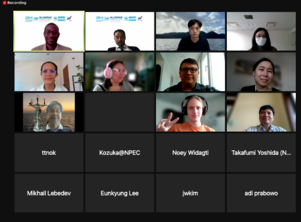
Webinar 1
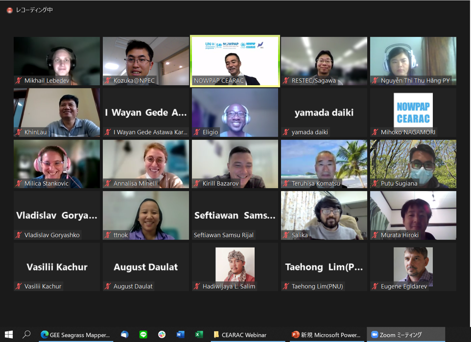
Webinar 2