
Assessment of seagrass distribution in the NOWPAP region
Background
Waycott et al. (2009) reported 110km2 of seagrass beds were disappeared annually worldwide. Grech et al. (2012) pointed out that seagrasses in Temperate North Pacific region, which includes NOWPAP region, had a highest vulnerability score among all the regions and three major threats to seagrass beds were landfill by urbanization and port development, rise of sea water temperature and rise of sea level. However, the assessment result by Grech et al. (2012) did not have enough information and/or data in the NOWPAP region.
Development of the manual and implementation of case studies
In 2014, CEARAC initiated activities on distribution of seagrass beds in the NOWPAP region. We developed “A manual for Seagrass and seaweed beds distribution mapping with satellite images” in 2015 and conducted case studies at the selected sea areas in the NOWPAP member states to verify the usability of the manual (See the chart below for the selected sea areas and the nominated experts who conducted the case studies). The summary of the case studies is shown in the report “Feasibility study for assessment of seagrass distribution in the NOWPAP region” (2018).
| Country | Expert | Affiliation | Selected sea area |
| China | Dr. Dingtian Yang | State Key Laboratory of Tropical Oceanography, South China Sea Institute of Oceanology, Chinese Academy of Sciences |
Swan Lake |
| Japan | Dr. Tsuneo Maeda Dr. Wataru Matsumura Dr. Genki Terauchi |
Northwest Pacific Region Environmental Cooperation Center(NPEC) | West part of Toyama Bay (Himi) West Bay in Nanao Bay |
| Korea | Dr. Keunyong Kim Dr. Jong-Kuk Choi |
Korea Ocean Satellite Center, |
Deukryang Bay (Jangheung County) |
| Russia | Dr. Vasily Zharikov | Pacific Geographical Institute, Far Eastern Branch of the Russian Academy of Sciences |
Southwest coast out of the Peter the Great Bay |
Feasibility study
To expand the target area to the entire NOWPAP sea area, CEARAC implemented a feasibility study to assess the seagrass distribution in 2016-2017, and several tasks including literature review, development of database, cost analysis were carries out. In August 2017, the First International Workshop on Assessment of Seagrass Distribution in the NOWPAP region was held, and the participants discussed possibilities of mapping seagrass beds with satellite images and CEARAC’s future workplan on assessment of seagrass distribution in the NOWPAP region. In the published “Feasibility study for assessment of seagrass distribution in the NOWPAP region” (2018), it was suggested to use cloud computing services, set a standardized analysis procedure, and analyze freely available satellite images to save time, money and labor.
●Literature review
In order to utilize on-site seagrass information for mapping seagrass beds with satellite images, CEARAC reviewed literature which was published in either English or the languages of the NOWPAP member states. The nominated experts collected the reports and periodicals published in 1973-2017, and CEARAC compiled them into a list. (See the list in Annex VII “Report on the feasibility study towards assessment of seagrass distribution in the NOWPAP region” in the 15th CEARAC FPM.
| Country | Expert | Affiliation |
| China | Dr. Dingtian Yang | South China Sea Institute of Oceanology, Chinese Academy of Sciences |
| Japan | Dr. Teruhisa Komatsu | Yokohama College of Commerce |
| Korea | Dr. Jong-Kuk Choi |
Korea Ocean Satellite Center, Korea Institute of Ocean Science and Technology |
| Russia | Dr. Vasily Zharikov | Pacific Geographical Institute, Far Eastern Branch of the Russian Academy of Sciences |
Seagrass distribution map
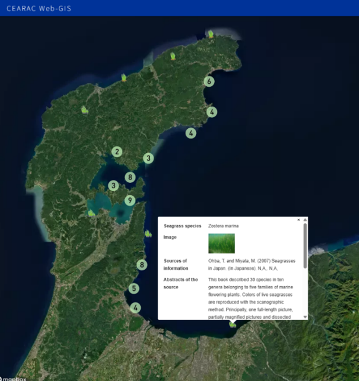 CEARAC developed a seagrass distribution map in the NOWPAP region based on the data collected by the literature review.
See CEARAC Web-GIS: https://cearac.nowpap.org/map-webgis/
The status of the distribution is shown by the number and size of each 〇.
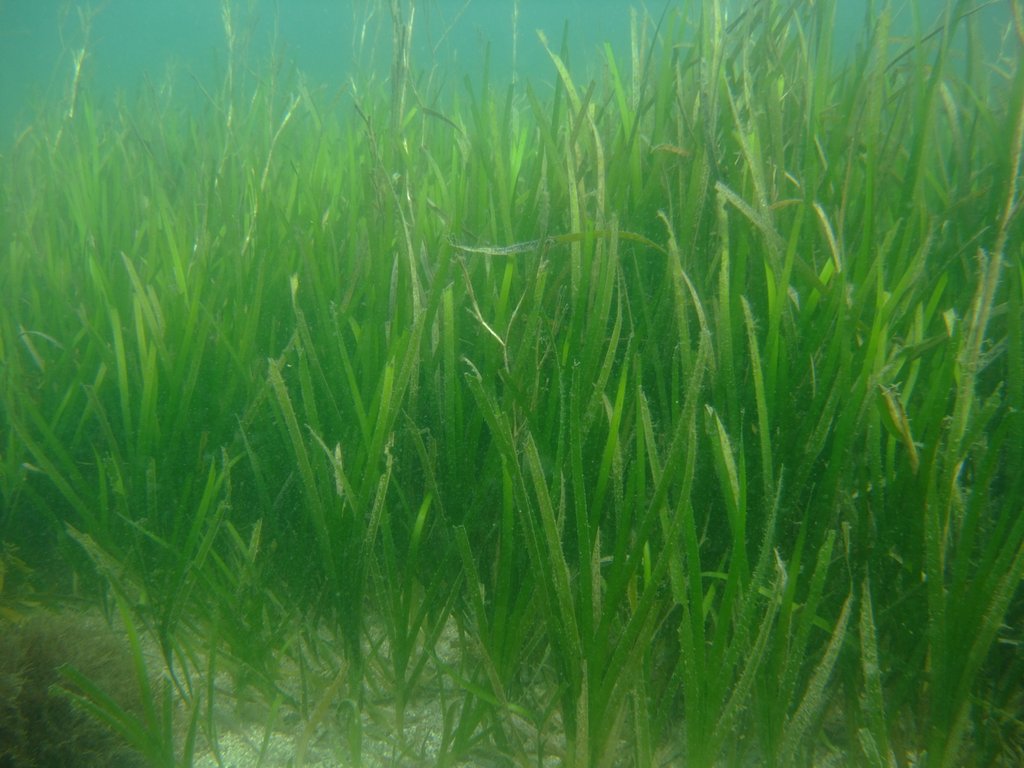
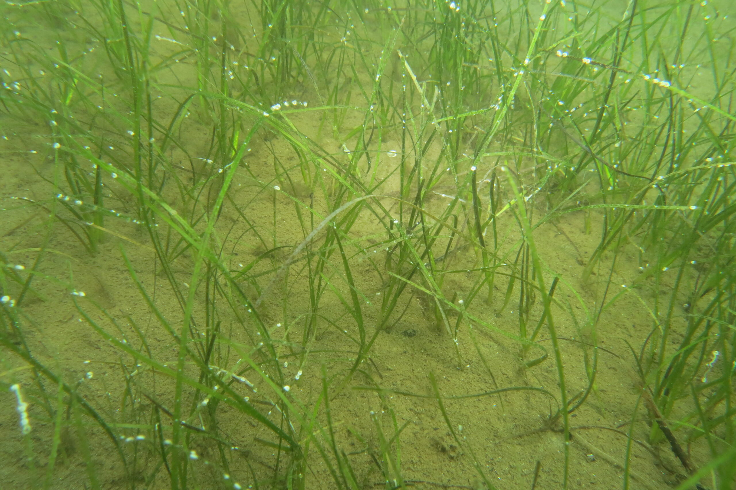
When the map is enlarged, one of the following seagrass icons appears. ![]()
More detailed information of each seagrass bed including space, image, data source (author, published year, title, abstract, threats, GIS polygon data, location) is also shown.
|
Zostera marina
|
Zostera japonica
|
Zostera caespitosa
|
|
Zostera asiatica
|
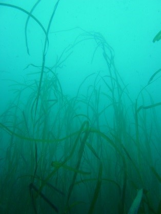
Zostera caulescens |
Halodule uninervis No image available
|
|
Phyllospadix iwatensis
|
Phyllospadix japonicus
No image available |
|
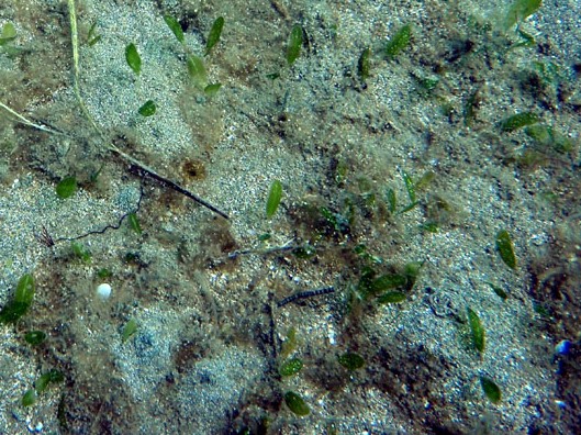
Halophila ovalis
|
Halophila nipponica
No image available
|
Development of Seagrass Mapper
Following the result of the Feasibility study for assessment of seagrass distribution in the NOWPAP region, CEARAC, in cooperation with the Ministry of the Environment, Japan, developed, a web tool, Seagrass Mapper. This tool uses satellite images and field data to map seagrass beds in coastal waters. It is constructed on Google Earth Engine, a cloud-based platform for large-scale analysis of Earth observation data. CEARAC also built a special website Mapseagrass to provide information about seagrass beds.


