| Publication year |
Cover page |
Title |
| 2018 |
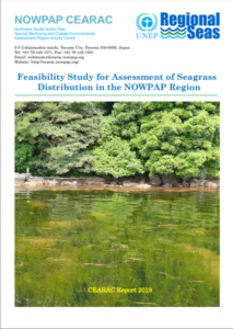 |
Feasibility Study for Assessment of Seagrass Distribution in the NOWPAP Region [751KB]
After applying the developed “A manual for seagrass and seaweed beds distribution mapping with satellite images” (2015) to case studies in the selected sea areas in each NOWPAP member state (2015-2016), CEARAC investigated the feasibility of assessing seagrass distribution in the entire NOWPAP region by collecting information and conducting literature review in each member state.
This report includes a summary of the case studies.
|
| 2015 |
|
A manual for seagrass and seaweed beds distribution mapping with satellite images[1,750KB]
CEARAC developed a manual for monitoring of seagrass and seaweed beds distribution with satellite images supported by Dr. Teruhisa KOMATSU.
|
| 2011 |
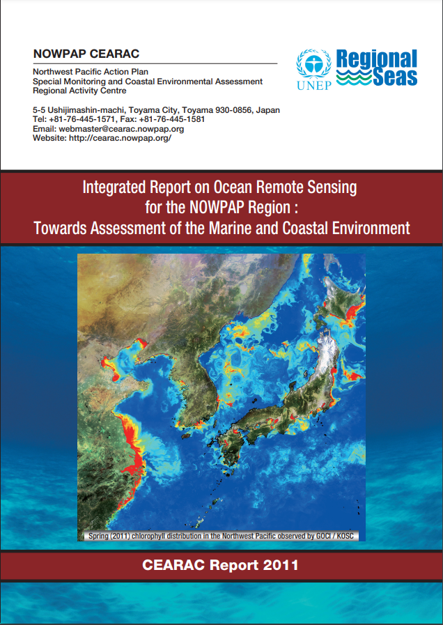 |
Integrated Report on Ocean Remote Sensing for the NOWPAP Region: Towards Assessment of the Marine and Coastal Environment [7,307KB]
CEARAC updated the Integrated Report (2005) by adding latest information on ocean RS in the member states.
|
| 2007 |
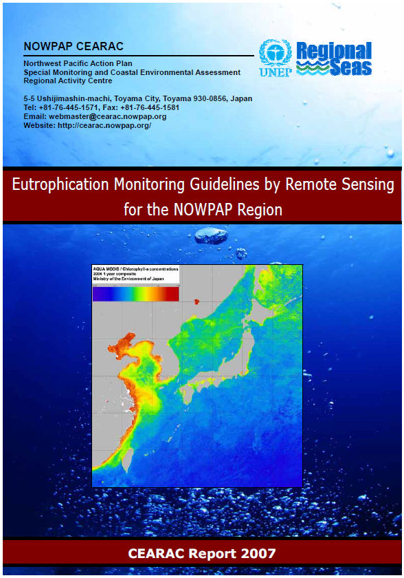 |
Eutrophication Monitoring Guidelines by Remote Sensing for the NOWPAP Region[4,445KB]
The guidelines are aimed at coastal managers in local governments and professional researchers to translate satellite remote sensing into information and tools that are useful for monitoring of eutrophication, one of the most severe and widespread environmental problems in the NOWPAP region.
|
2004-2005
|
 |
Integrated Report on Ocean Remote Sensing for the NOWPAP Region [1,782KB]
In cooperation with NOWPAP WG4, CEARAC published the Integrated Report, overviewing the remote sensing utilization in the NOWPAP region based on the National Reports.
|
| |
National Reports of Ocean Remote Sensing in the NOWPAP Region
China[2,665KB] / Japan[2,095KB] / Korea[8,651KB] / Russia[8,020KB]
Under the lead of NOWPAP WG4, CEARAC developed the National Reports on the status of remote sensing utilization in each NOWPAP member state.
|